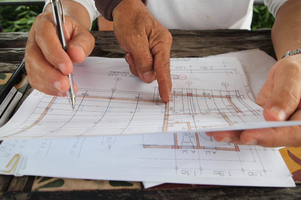

Urban planning shapes how cities grow, function, and serve their communities. It aims to create spaces that are functional, efficient, sustainable, and visually cohesive by carefully integrating land use, infrastructure, housing, transportation, and public amenities.
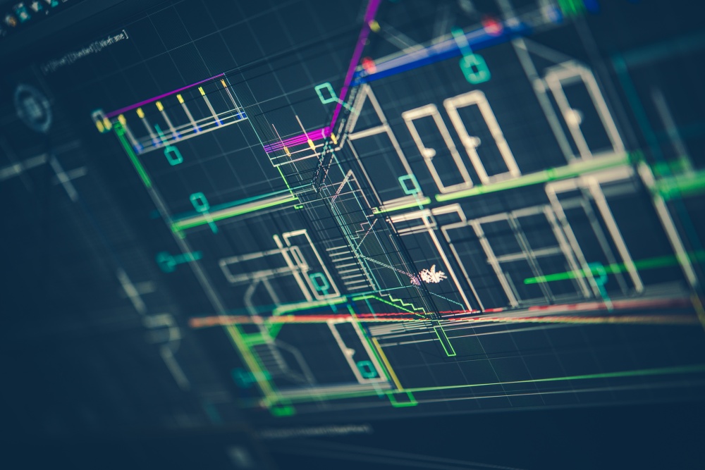
In Singapore, both the government and private developers recognize the critical role of urban planning, particularly as construction projects directly impact citizens’ lives. To support smarter planning and decision-making, they leverage advanced tools such as Geographic Information Systems (GIS) and Building Information Modeling (BIM).
Broadening Horizons: What is the Scope of BIM Technology in Singapore’s Urban Planning?
The use of BIM in urban planning can be found in how new developments are designed and simulated in Singapore’s virtual twin, “Virtual Singapore”, and its Digital Urban Climate Twin (DUCT).
Virtual Singapore: BIM’s Role for Future Urban Development
Virtual Singapore is a collaborative platform and digital twin of the city, which integrates a semantically rich 3D model of Singapore to facilitate data sharing among public agencies, private developers, and the research community. This project was made in collaboration with the National Research Foundation (NRF) and the Singapore Land Authority.
BIM data is used to enhance this digital twin, with native BIM models containing both semantic and geometric information about buildings, which can be transformed and integrated into Virtual Singapore. This integration supports computational workflows, allowing agencies and stakeholders to simulate, analyze, and optimize urban outcomes. To ensure BIM-Geo interoperability, BIM models in Industry Foundation Class (IFC) format must be converted to geospatial standards, such as CityGML, while retaining accuracy and semantic richness.
It combines BIM data with geospatial and survey data to help planners make informed decisions about land use, infrastructure, and the built environment. Importantly, BIM ensures that the digital twin becomes a content-rich, actionable dataset that supports effective urban planning, monitoring, and decision-making in the city-state.
DUCT: BIM’s Role in Addressing Urban Heat Island Challenges
In 2023, Singapore recorded its highest temperatures on record, driven by rising urban heat and the effects of El Niño. This trend has been closely linked to the Urban Heat Island (UHI) effect, a phenomenon in which urbanisation alters local microclimates. Contributing factors include high building density and the widespread use of heat-retaining construction materials. These built environments increase thermal capacity and reduce wind flow, adversely affecting residents’ thermal comfort.
To tackle the issue of urban heat in Singapore, the Cooling Singapore 2.0 initiative developed a “Digital Urban Climate Twin” (DUCT). This digital twin integrates multiple models into a federated system, some of which require supercomputing resources, to simulate and analyze the country’s urban climate. These models are built by scientists and domain experts, drawing on data from various urban planning domains, including master plans, land use, energy consumption, and electricity demand, among others.
BIM is beneficial in this process by providing detailed building-level geometric and semantic data that feeds into the digital twin. Integrating BIM models with climate simulation data, DUCT enables urban planners, developers, and policymakers to assess how specific buildings and urban layouts contribute to heat accumulation, and to explore design interventions that mitigate the urban heat island effect.
Essential Methods: BIM Techniques for Urban Planning
BIM techniques help urban planners in creating more efficient and sustainable cities through the following ways:
- Site Analysis: BIM provides a digital representation of the built environment, enabling planners to conduct a thorough assessment of site conditions. Through the model, they can evaluate topography, soil data, and existing infrastructure, allowing for informed, collaborative decision-making across project stakeholders. This process enhances understanding of a site’s development potential and ensures better planning outcomes.
- Leveraging GIS Integration: Combining BIM models with GIS spatial data to visualize the complex relationships between proposed developments and existing urban elements like transportation networks, utility lines, and public green spaces. This provides a holistic view essential for effective planning.
- Informed Material Selection: BIM enables planners and developers to evaluate how various materials perform under real-world conditions, such as heat, moisture, and light exposure. By simulating environmental impacts and assessing factors like energy efficiency, thermal performance, and durability, BIM supports smarter material choices that align with long-term sustainability goals.
Advantages Unleashed: Benefits of BIM in Urban Design
The use of BIM technology has improved the way construction teams tackle urban planning, as it helps with:
- Enhanced Precision: BIM allows for the creation of detailed and accurate 3D models that represent the entire urban environment. This high level of detail leads to more informed decision-making and a significant reduction in design discrepancies before construction begins.
- Early Issue Identification: The technology enables the detection of potential clashes and conflicts during the digital design phase. Identifying and resolving these issues early prevents them from becoming costly and time-consuming problems on the construction site.
- Minimized Project Delays: By improving project visualization, BIM models give all stakeholders a clearer understanding of the design and scope. This shared clarity reduces uncertainty and disputes during the construction phase, which helps to minimize project delays.
- Fostering Sustainability: BIM supports sustainable urban design by enabling detailed analysis of environmental factors. Planners can assess energy efficiency, perform material lifecycle assessments, and optimize designs to reduce the environmental impact of a project.
Overcoming Obstacles: Challenges in Urban Renewal and BIM Solutions

BIM is also uniquely suited to address the specific challenges inherent in urban renewal projects.
- Addressing Time Constraints: Urban renewal projects often face tight deadlines driven by economic or community pressure. BIM helps meet these demands by supporting concurrent design and construction. With 4D scheduling, teams can visualise timelines, spot bottlenecks, and optimise sequencing to avoid delays.
- Ensuring Regulatory Compliance: Dealing with legacy infrastructure and complex zoning often complicates compliance. Manual checks risk errors and delays. BIM simplifies this with rule-based validation, automatically checking models against regulations to speed up approvals.
- Streamlining Data Management: Urban renewal projects involve vast amounts of data, from existing infrastructure to proposed upgrades. BIM serves as a centralized hub, organizing this information for easy access. This keeps all stakeholders aligned with the latest data, improving collaboration and reducing errors.
Looking Ahead: Future Trends in BIM and Urban Planning
As urban environments become more complex, BIM is quickly evolving from a construction tool into a vital asset for smart, sustainable city planning. Key trends shaping its future include:
- Data-Driven Urban Sustainability: BIM supports low-carbon, energy-efficient development through lifecycle modeling and environmental analysis, helping planners make informed choices on materials, land use, and energy.
- Integration of Smart Technologies: AI, machine learning, and IoT are enhancing BIM’s capabilities, enabling real-time monitoring, predictive simulations, and more responsive urban design.
- Cloud-Based Collaboration and Scalability: Cloud platforms allow multiple agencies to work on shared BIM models, improving coordination across transport, infrastructure, and emergency services planning.
- Comprehensive Urban Simulations: Moreover, BIM is used to simulate traffic, disaster response, and zoning impacts, allowing cities to plan proactively and avoid costly errors.
- Smart Cities and Climate Resilience: From sensor-integrated infrastructure to flood mitigation, BIM is key to building climate-resilient urban systems.
- Global Adoption Through Case Studies: With cities like Singapore, London, and New York leading the way, more cities can potentially have sector-wide adoption of BIM in urban planning.
Strengthening Collaboration: How BIM Enhances Urban Stakeholder Engagement
Stakeholder collaboration is critical in urban planning to ensure coordination between architects, planners, agencies, and communities. BIM streamlines this process through a shared digital platform that keeps all parties aligned by:
- Centralized Access to Project Data: BIM provides a single platform where all stakeholders can access real-time models, plans, and data. This removes communication gaps and keeps all parties aligned with consistent, up-to-date information.
- Visual Clarity for All Audiences: Through detailed 3D models and simulations, BIM bridges the gap between technical and non-technical stakeholders. This helps everyone, from planners to community members, better understand the project’s scope and intent.
- Instant Visibility of Updates: Any changes to the plan are reflected instantly across the platform. This keeps all parties informed and reduces the risk of working with outdated information.
- Better Decision-Making: BIM supports more informed, transparent decisions by showing how design choices affect infrastructure, zoning, and communities. This leads to fewer delays and smoother planning.
Promoting Eco-Consciousness: Impact of BIM on Urban Heat
BIM supports more sustainable urban environments by enabling climate-responsive design through platforms, like DUCT. By leveraging BIM’s data-driven insights, construction teams can make sustainability-focused decisions that minimize heat retention and mitigate the UHI effect within the built environment.
- Embedding Climate-Smart Thinking from Day One: With BIM, construction teams take shading, building orientation, height, and spacing into account in the planning phase of the project, ensuring that thermal performance becomes a design driver rather than a secondary optimisation step.
- Linking Design Decisions to Real-World Climate Impact: Planners can use building geometry and attributes linked to climate simulations to test multiple design scenarios to understand how each affects airflow, heat absorption, and urban comfort before construction begins.
- Supporting Low-Impact Construction Strategies: By visualizing lifecycle performance through BIM, construction teams can select design approaches that reduce waste, improve resource efficiency, and align developments with broader sustainability targets, contributing to cooler, more resilient urban districts.
The Transformative Power of BIM in City Development
BIM is becoming central to shaping smarter, more sustainable cities. As urban planning shifts towards digital solutions, the demand for professionals with BIM expertise is rising. This makes BIM training essential for mastering the tools, workflows, and collaboration skills needed in today’s projects.
Looking for a BIM course in Singapore? BIMAGE Consulting offers hands-on programs tailored to help AEC professionals lead in digital transformation.
